
INSMET
Casablanca, Regla
Email: sequia@insmet.cu
Phone: (53) 868-6622
Fax: (53) 868-6622
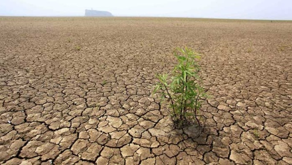
Practical examples of drought assessment
It will be good to demonstrate how to use the tool to conduct drought assessment studies. By doing this we will not make detailed analysis or deeply assessments, we simply show the possible use of the tool.
Comparing the model outputs and observation in representing the drought process characteristics
First lets go to evaluate how a particular model simulates drought events by comparing the model results against an observed dataset. It is important to realize that there are many different issues when comparing regional simulations (mainly when they come from RCM outputs driven by GCM and emission scenarios) with observations. However, what the tool allow is a simple and easy way to facilitate this process (open the video to see how easy it is) .
The output shown the spatial drought statistics for CRU and ECHAM5 for the 1961-2000 period according with a fixed threshold of SPI for 12-months. A simpler inspection indicate some similarities in the spatial patterns whilst local differences are also appreciated. For instance, the ECHAM5 spatial pattern for a number of drought events for SPI12 lower than OT (in this case -1.0) and a duration greater than Months Drought (in this case 6 months) looks similar to the CRU pattern, but there are major local differences in some areas Central and South America.
Largest differences emerge when explore how ECHAM5 simulate the areas affected by drought categories during the study period. It is clear that time series of CRU and ECHAM5 does not match for any of the drought intensities. A subjective inspection indicate that the area covered by moderate droughts are largest in the model but the contrary happens when extremely drought are considered. Assessing these characteristics over other spatial areas can be used to test where the model produces less or more accurate results.
Such kind of analysis can be extended to other models available in CARiDRO. The video shown the way to make a very simple comparison between CRU and the models available as a way to reflect some aspects of model uncertainty.
Assessing the effects of climate change on drought process
Lets continue making reference to the SPI12 index and calculate it for a grid point over Cuba to produce one example of how to assess the effects of climate change on drought. This can be done in two ways (see the video). One is to compute the index and to produce the drought characteristics for a “current climate” (here the reference dates and the assessment dates are the same, but for the present) and for a future period (the reference dates and the assessment dates are the same, but for the future) separately and compare them. The other way is to estimate the drought for a current period in a similar manner to the previous case, but at this time the calculation of future is made by setting up the reference dates as the “current climate” and the assessment dates as the future.
The tables produced in this example demonstrate that the drought process in the particular grid point being considered will not have significant changes from the period 1961-2000 to 2001-2050 period. Just the extreme drought category reflects a future increase, while the other drought categories decrease. The general decrease in the drought process can be due to the increase in the percentage of the normal category as well as the decrease in the occurrence of wet categories. The time series for SPI provide additional and useful features for the characterization of drought processes. This additional information serves to identify the periods where drought occurs and when they are prolonged and intensive.
Using the SPEI to represent the drought process
All the previous examples have been based just on SPI drought index. However, as was stated before, CARiDRO also include the SPEI to make drought analysis. In this sense an example related with the use of SPEI will help to show other possibilities of the tool. For example, if the comparison between CRU and ECHAM5 is done again for SPEI instead of SPI, some interesting results can be found (see the video example). First the drought statistics for both datasets are very similar for the period 1961-2000 and despite of the differences between both time series, they have similar trends indicating the increase in the occurrence of droughts. Similar conclusions can be arise from the inspection of the time series of the area covered by different drought categories.
Now the ECHAM5 trend to more frequent drought events in the 1961-2000 period is more intensive when the 1961-2050 period is considered. However for SPI such kind of trend does not exist, suggesting the influence of the increase in temperatures over evapotranspiration and at the same time, over water balance. A simple inspection of both graphics indicate that temperature effects seem to be dominant since the 30's when the divergence between both series start to be more clear and pronounced.
For a more detailed explanation of the examples (should) consult the CARIDRO User's Guide